Loading...
Searching...
No Matches
Geometry.hpp File Reference
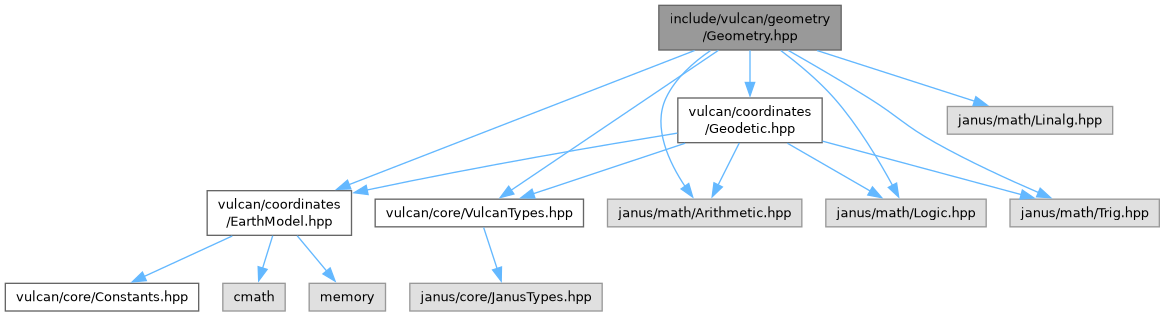
#include <vulcan/coordinates/EarthModel.hpp>#include <vulcan/coordinates/Geodetic.hpp>#include <vulcan/core/VulcanTypes.hpp>#include <janus/math/Arithmetic.hpp>#include <janus/math/Linalg.hpp>#include <janus/math/Logic.hpp>#include <janus/math/Trig.hpp>
Include dependency graph for Geometry.hpp:
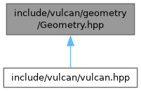
This graph shows which files directly or indirectly include this file:
Go to the source code of this file.
Namespaces | |
| namespace | vulcan |
| namespace | vulcan::geometry |
Functions | |
| template<typename Scalar> | |
| Scalar | vulcan::geometry::slant_range (const Vec3< Scalar > &r_observer, const Vec3< Scalar > &r_target) |
| Compute slant range (distance) between two points. | |
| template<typename Scalar> | |
| Vec2< Scalar > | vulcan::geometry::los_angles (const Vec3< Scalar > &r_observer, const Vec3< Scalar > &r_target) |
| Compute line-of-sight azimuth and elevation angles. | |
| template<typename Scalar> | |
| Vec2< Scalar > | vulcan::geometry::los_rate (const Vec3< Scalar > &r_obs, const Vec3< Scalar > &v_obs, const Vec3< Scalar > &r_tgt, const Vec3< Scalar > &v_tgt) |
| Compute line-of-sight angular rates. | |
| template<typename Scalar> | |
| Scalar | vulcan::geometry::ray_sphere_intersection (const Vec3< Scalar > &origin, const Vec3< Scalar > &direction, const Vec3< Scalar > ¢er, const Scalar &radius) |
| Ray-sphere intersection. | |
| template<typename Scalar> | |
| Scalar | vulcan::geometry::ray_plane_intersection (const Vec3< Scalar > &origin, const Vec3< Scalar > &direction, const Vec3< Scalar > &plane_normal, const Vec3< Scalar > &plane_point) |
| Ray-plane intersection. | |
| template<typename Scalar> | |
| Scalar | vulcan::geometry::point_in_cone (const Vec3< Scalar > &point, const Vec3< Scalar > &apex, const Vec3< Scalar > &axis, const Scalar &half_angle) |
| Check if a point lies within a cone (e.g., sensor FOV). | |
| template<typename Scalar> | |
| Vec3< Scalar > | vulcan::geometry::project_to_plane (const Vec3< Scalar > &point, const Vec3< Scalar > &plane_normal, const Vec3< Scalar > &plane_point) |
| Project a point onto a plane. | |
| template<typename Scalar> | |
| LLA< Scalar > | vulcan::geometry::ground_track_point (const Vec3< Scalar > &r_ecef, const EarthModel &model=EarthModel::WGS84()) |
| Project ECEF position to ellipsoid surface (ground track point). | |
| template<typename Scalar> | |
| Vec3< Scalar > | vulcan::geometry::ground_track_ecef (const Vec3< Scalar > &r_ecef, const EarthModel &model=EarthModel::WGS84()) |
| Compute ground track point and return as ECEF. | |